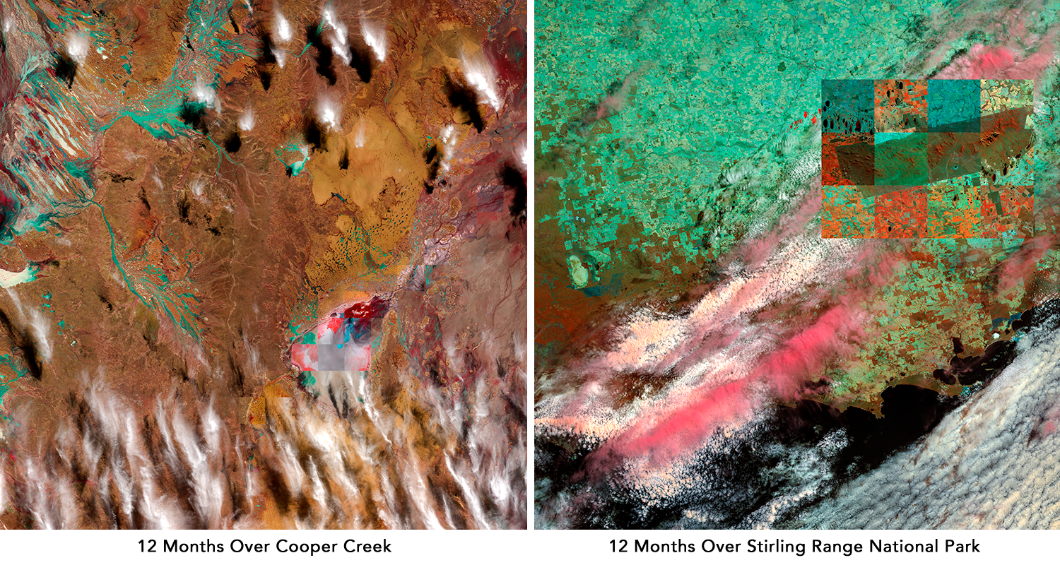
12 Months Over…
These images were produced as time-lapse still images of parts of the Australian continent. They are a kind of hybrid of art and data-visualisation, designed to show the variance in atmospheric and environmental phenomena experienced in a given site, across the space of the a year. These images were produced through my ongoing relationship with Geoscience Australia and the Digital Earth Australia program.
Some of these images have been picked up and used very widely in publications, conferences and festivals as exemplars of how satellite data can be used to bridge scientific and aesthetic criteria and contexts. These events and contexts include:
The Head On Photo Festival Landscape prize.
Auckland Festival of Photography.
Josephine Ulrick & Win Schubert Photography Award, Gold Coast Home of the Arts.
The Art of Science Communication conference and exhibition.
Andrea Rassell, “Six images reveal how we ‘see’ data and capture invisible science“, The Conversation March 21 2019.
The cover image for Volume 19 of Soundscape: the Journal of Acoustic Ecology.
The cover image for Mapping Crisis, an edited collection by Doug Specht.